Research & Innovation
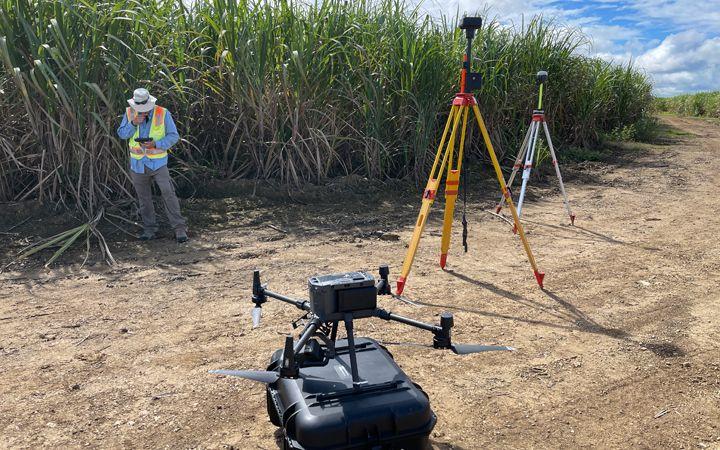
Field Intelligence
Models
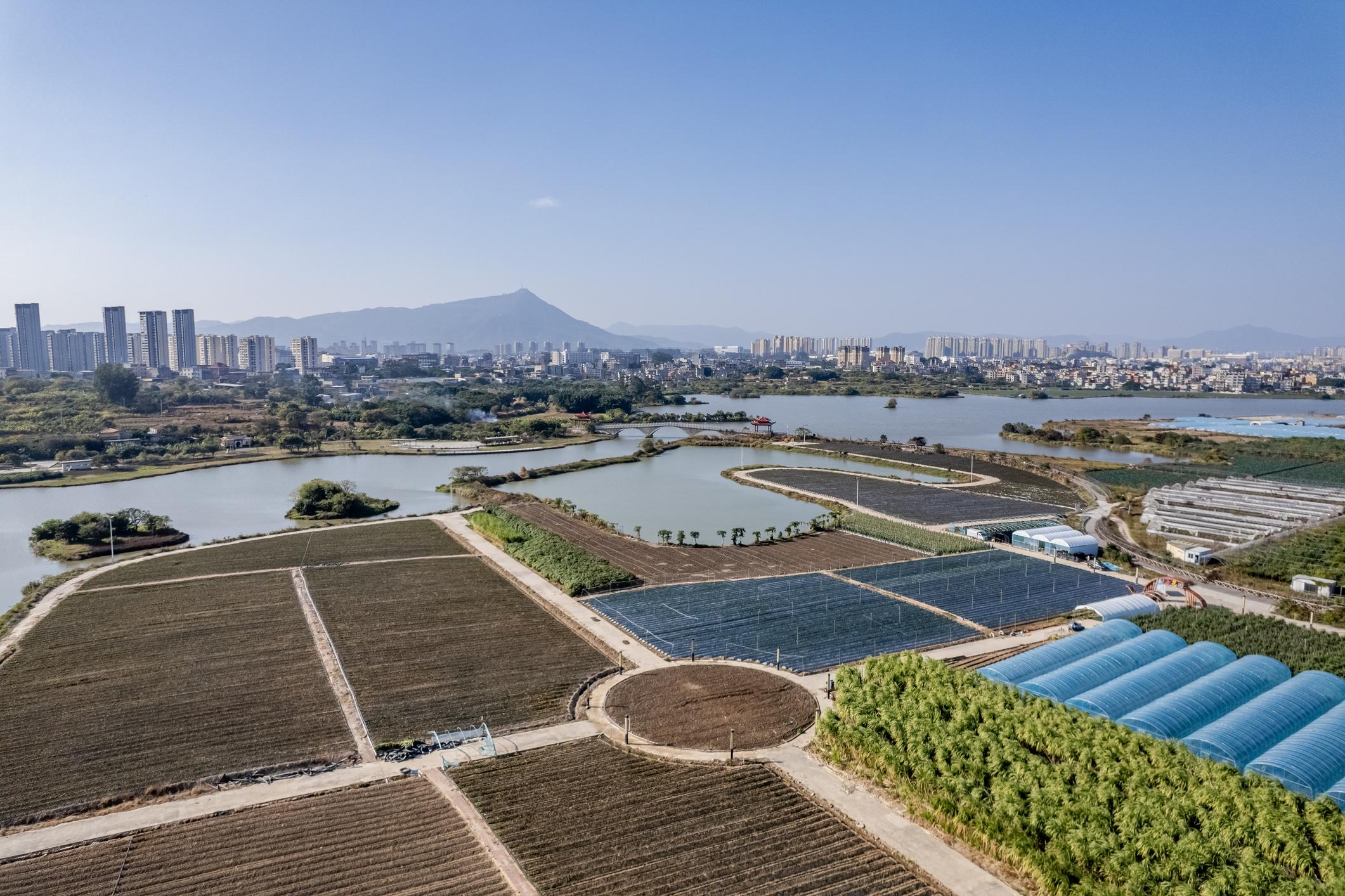
Transforming environmental observations into predictive intelligence through integrated sensing, geospatial analytics, AI models, and scientific field operations.
Satellite Data
98.7%
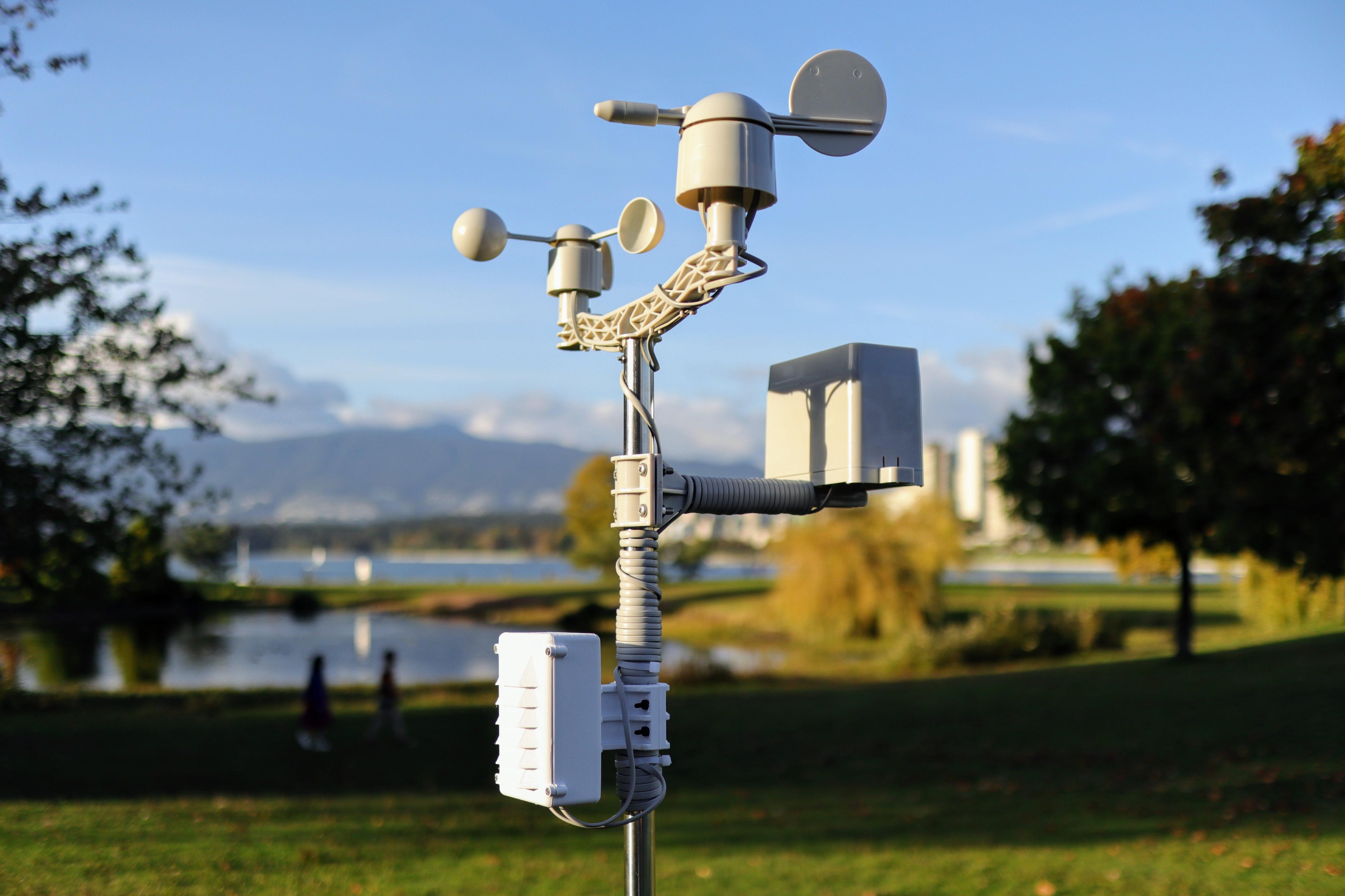
Active Sensors
12,480