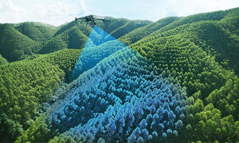
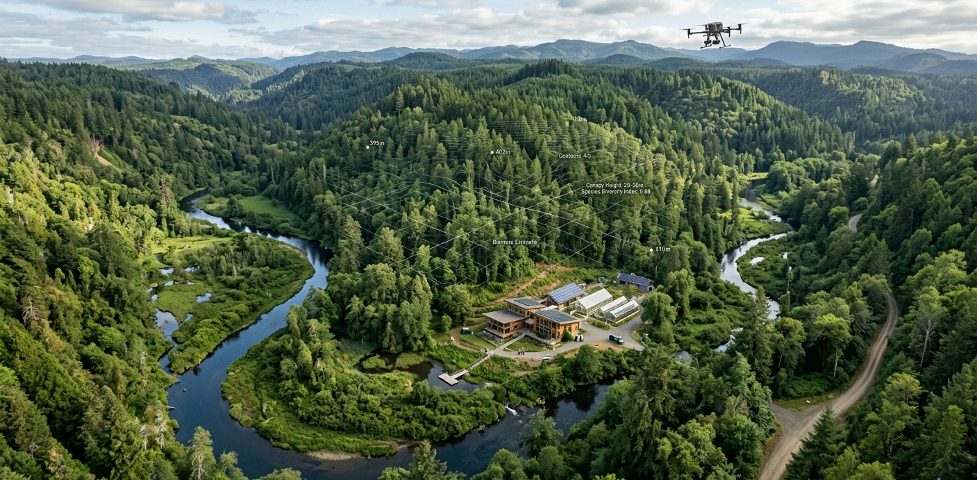
Unlock high-resolution terrain intelligence through advanced LiDAR technology, delivering accurate elevation models, vegetation analytics, infrastructure mapping, and environmental insights.
Reveal detailed terrain characteristics even beneath dense vegetation canopies with precision laser scanning.
Support infrastructure planning and design with highly accurate elevation data meeting engineering specifications.
Generate advanced insights for ecosystem monitoring, watershed management, and landscape analysis.
Generate highly accurate Digital Elevation Models (DEMs), Digital Terrain Models (DTMs), Digital Surface Models (DSMs), contour maps, slope models, and terrain intelligence products suitable for engineering, environmental, and planning applications. Includes orthometric height transformation and geoid separation corrections.
Assess canopy height, vegetation structure, biomass distribution, watershed characteristics, and ecological conditions through advanced LiDAR analytics. Detect sub-canopy terrain, measure forest density, and support biodiversity assessment and conservation planning initiatives.
Flight path optimization, terrain mapping strategy, sensor configuration, and accuracy specification.
Precision laser scanning with RTK/PPK positioning capturing millions of elevation measurements.
Classification, filtering, normalization, and advanced data refinement techniques.
DEM/DTM/DSM generation, contour extraction, and thematic intelligence analysis.
GIS-ready products, reports, documentation, and decision-support systems.
High-resolution DEMs with precise vertical accuracy.
DTM and DSM datasets for analysis and visualization.
Topographic visualizations and elevation profiles.
Vegetation height and structure analysis.
LAS/LAZ format point clouds for advanced analysis.
Terrain derivative products for planning.
Hydrologic analysis and flood risk assessment.
Technical documentation and analysis findings.
Leverage LiDAR-powered terrain intelligence solutions to improve planning, engineering, environmental monitoring, and risk assessment outcomes.