Environmental Intelligence • 2025

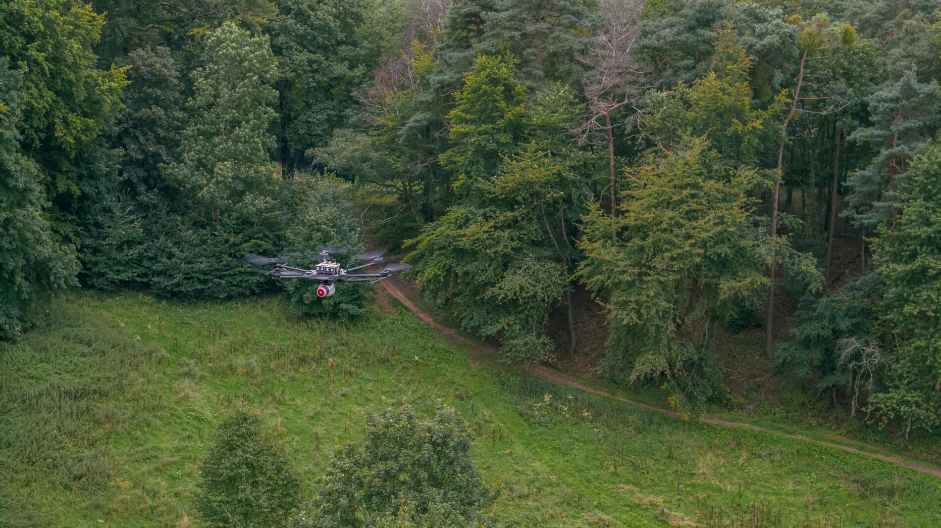
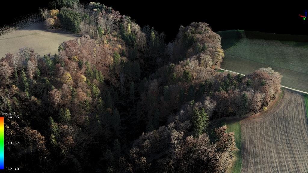
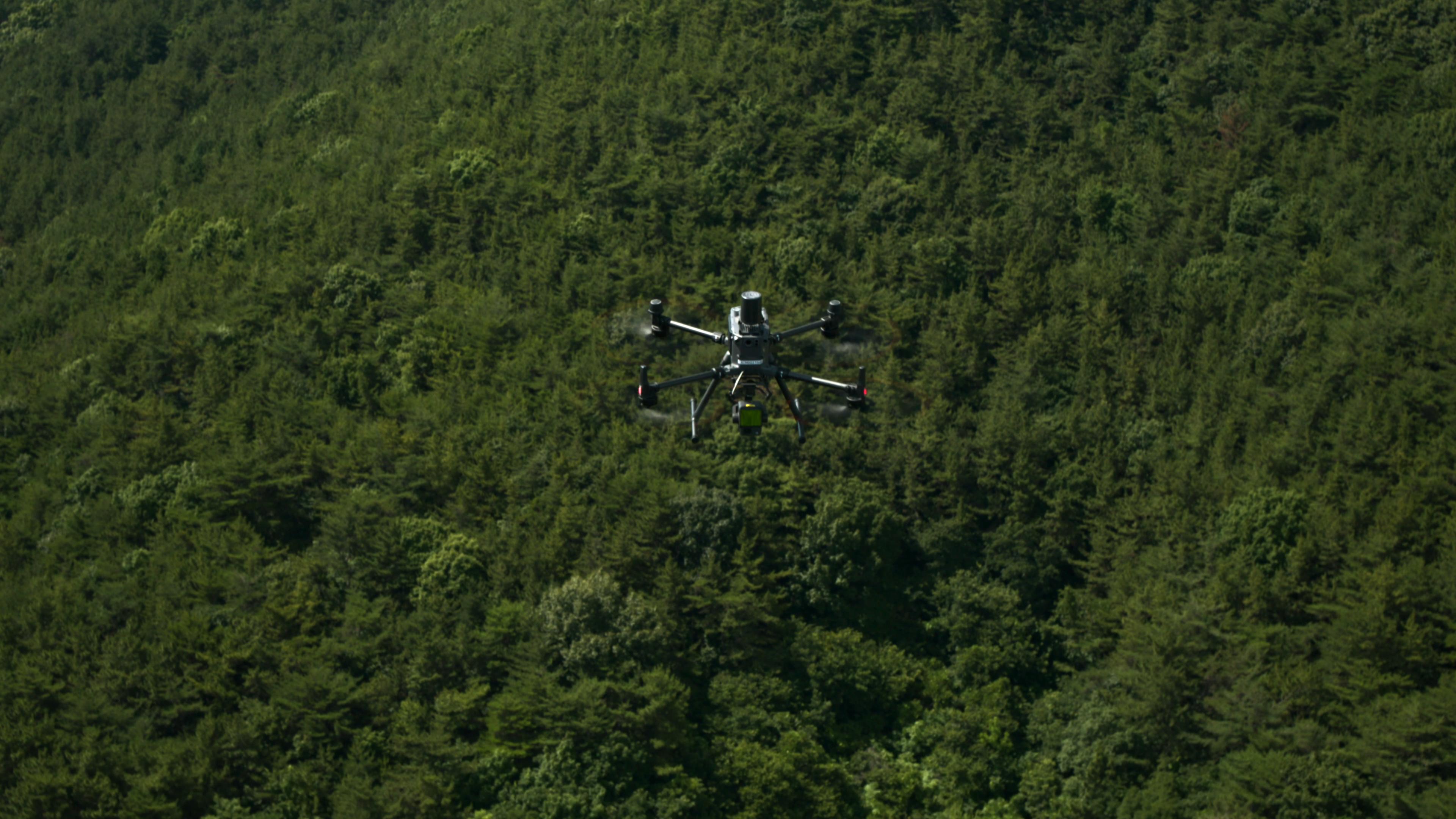
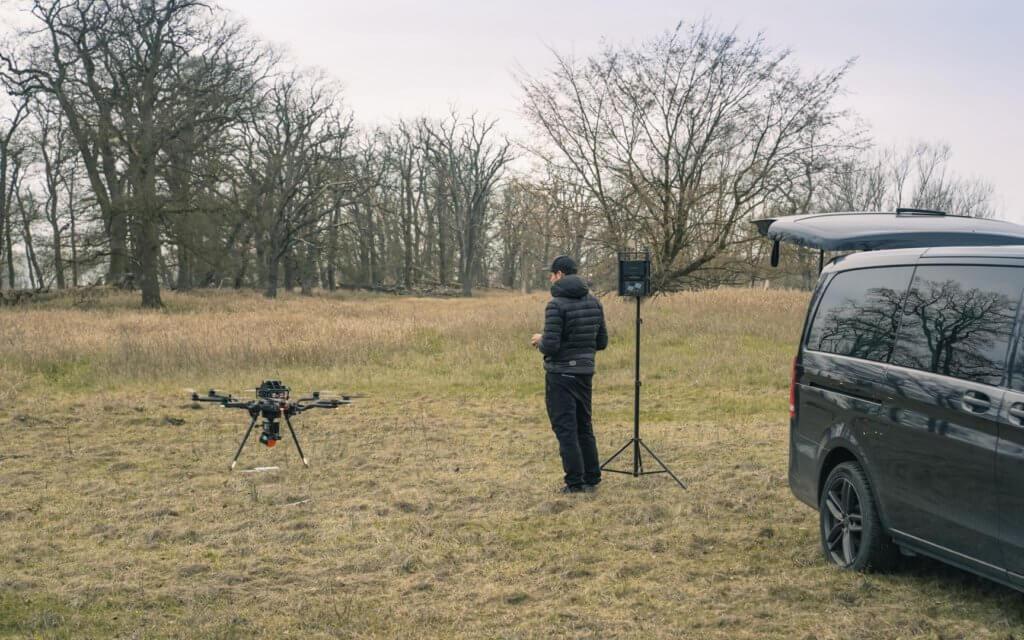
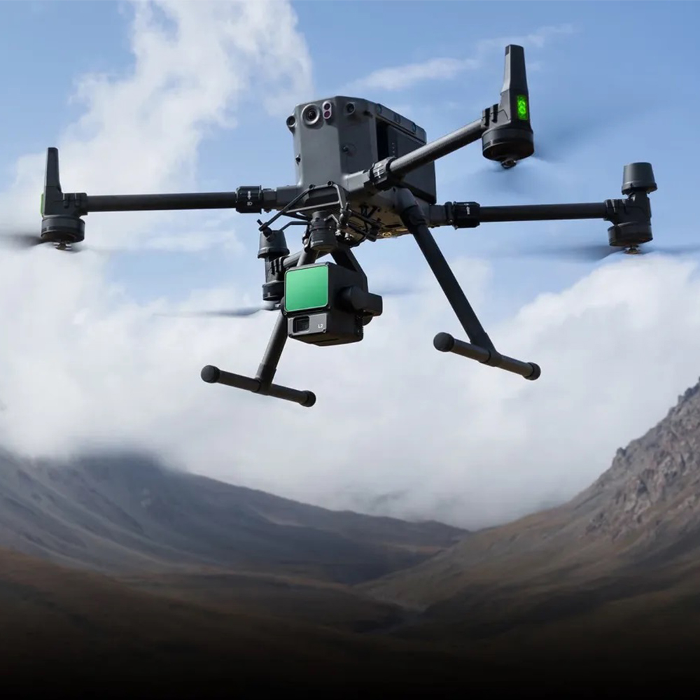
Drone LiDAR Environmental Surveillance

Advanced aerial intelligence platform utilizing UAVs, LiDAR technology, and geospatial analytics to deliver high-resolution environmental monitoring, terrain intelligence, and precision mapping solutions.

32.5K+
Hectares Surveyed
4.8B
LiDAR Points Captured
186
UAV Missions Completed
42
Intelligence Datasets

Overview

Environmental Intelligence & LiDAR Mapping Framework

Phyterra deployed integrated UAV-LiDAR platforms to establish comprehensive environmental surveillance and terrain intelligence systems across complex landscapes. Utilizing advanced geospatial technologies, the initiative captured billions of high-density LiDAR points, generated precision digital terrain models, and produced actionable environmental intelligence for research, planning, and monitoring applications.

Challenge

Environmental Monitoring & Data Intelligence Gaps

Complex terrain, rapid environmental change, and incomplete spatial data limited operational planning and risk assessment capabilities. Traditional survey methods proved slow and expensive for large-scale monitoring. The challenge was to establish real-time environmental intelligence systems capable of detecting ecosystem dynamics, supporting disaster preparedness, and enabling evidence-based decision-making across diverse landscapes.

Methodology

From Aerial Data Acquisition to Environmental Intelligence

The project followed a structured geospatial workflow combining precision flight operations, LiDAR data processing, and environmental analytics to generate actionable intelligence products.

PHASE 01

Mission Planning & Survey Design

Strategic flight path optimization, sensor calibration, and survey area delineation established acquisition parameters for maximum spatial coverage and data quality.

PHASE 02

Drone LiDAR Data Acquisition

Multi-mission UAV platforms captured high-density point clouds across survey zones, collecting billions of precise elevation and intensity measurements.

PHASE 03

Data Processing & Terrain Modeling

Advanced point cloud processing generated Digital Elevation Models (DEMs), Digital Surface Models (DSMs), and normalized surface products for environmental analysis.

PHASE 04

Environmental Intelligence & Reporting

Spatial analytics and GIS workflows produced change detection analyses, environmental baselines, and decision-support intelligence products for stakeholders.

Aerial Intelligence Operations

Aerial Intelligence Aerial Intelligence Aerial Intelligence

Technology Ecosystem

LiDAR Terrain Intelligence UAV Survey Systems Point Cloud Processing GIS Spatial Analytics Digital Elevation Modeling Remote Sensing Platforms Environmental AI Analytics Change Detection Frameworks Geospatial Intelligence Systems

Outcomes & Impact

✓ High-Resolution Terrain Intelligence Generated
✓ Environmental Baseline Established
✓ Environmental Change Detection Enhanced
✓ Precision Mapping Delivered
✓ Disaster Risk Intelligence Improved
✓ Decision-Making Capability Strengthened

The precision and timeliness of environmental intelligence delivered through LiDAR surveillance transformed our monitoring and planning capabilities.